Taos’ trails less traveled
By Haven Lindsey
The majesty of the Sangre de Cristo mountains appeals to every type of hiker and outdoor enthusiast. New Mexico ranks sixth in the nation for the availability of public lands and Taos County offers a wide range of terrain.
Hikers and backpackers can climb from high desert to stately alpine mountains with their vast meadows and craggy, rock-strewn peaks. Most trails aren’t ‘seasonal’ in Taos County, so hikers and backpackers enjoy the trails year-round.

Local faves
As is the case for most things, there is a ‘hit list’ of favorite trails in and around Taos County. These trails are favorites for a reason. Hike near the John Dunn Bridge, soak in the hot springs and spend the day picnicking along the shores of the Rio Grande. Summit Wheeler Peak and you will have reached the highest natural point in New Mexico.
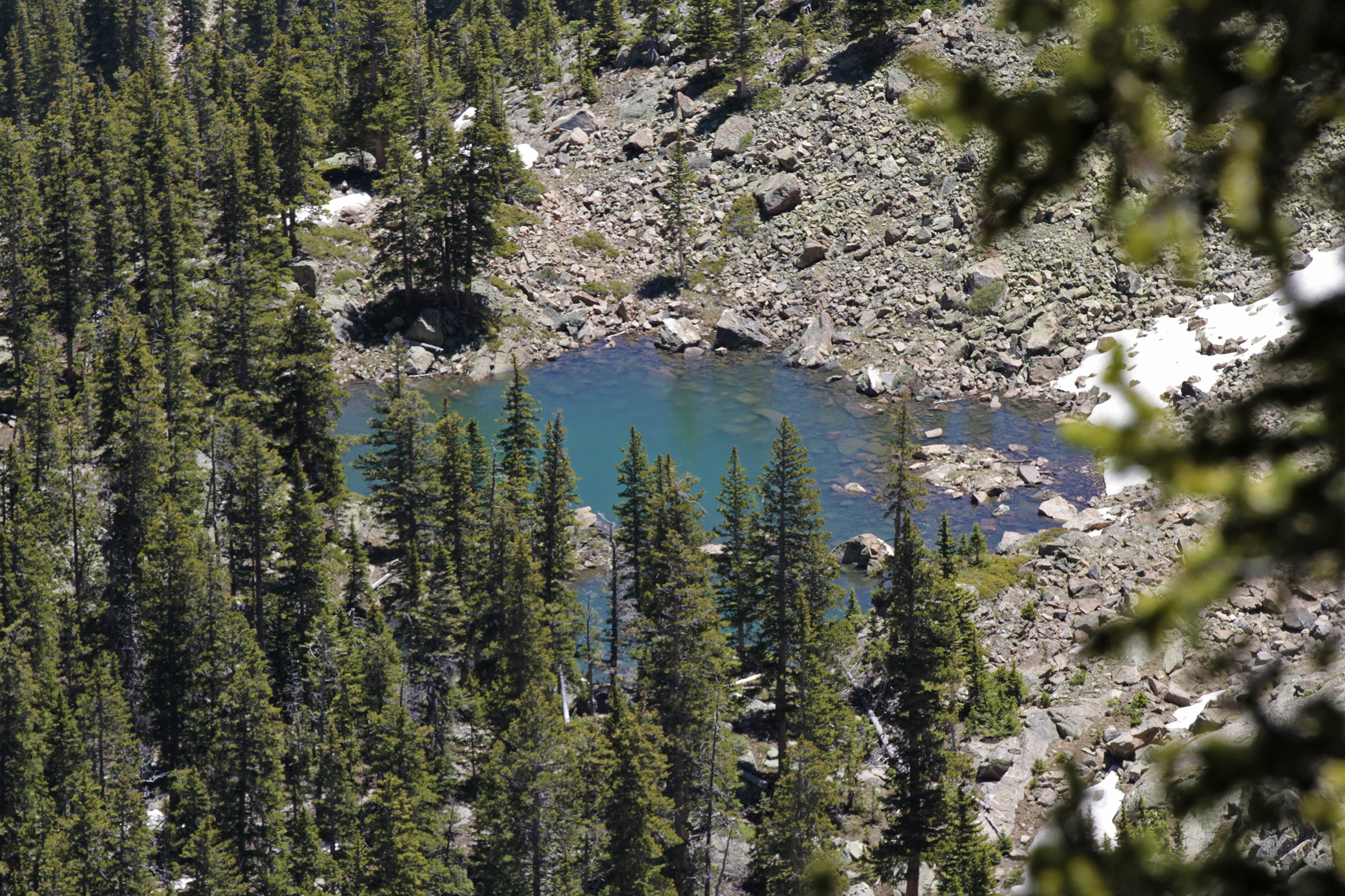
The four-mile hike to Williams Lake is stunningly beautiful and invites hikers to linger by the water’s edge. There are dozens of reasons to experience these popular trails, yet there can be a downside. The popular hikes can lean toward being heavily traveled and while trail camaraderie among friends and strangers is part of the fun, sometimes the yearning to take the proverbial road (or trail) less traveled calls.
The Rio Pueblo — Easy
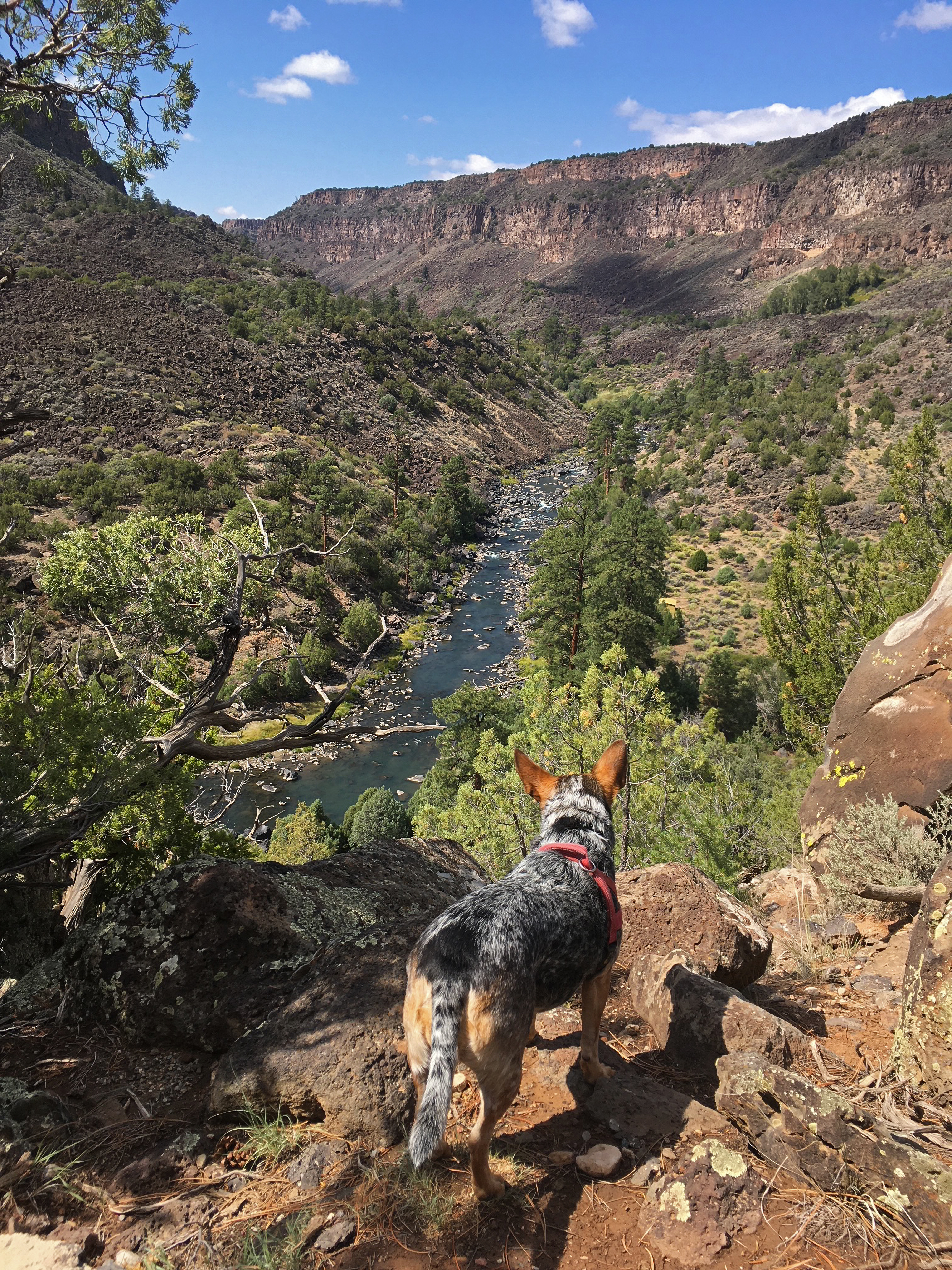
When the call of the less-traveled trail sounds louder than usual, the Sangre de Cristos have the answer. The Río Pueblo is an easily accessed hike whether visitors enter from the parking lot on the west side near the Taos Country Club (off County Road 110) or the parking lot closer to the Taos Junction Bridge. While this trail is popular, there are days when hikers and fishermen will have this 1.5-mile trail to themselves. The smooth, graveled trail follows the Río Pueblo. This area is family-friendly and affords hikers expansive views of the gorge area, sage and desert floor. Those with keen eyes will likely spot bighorn sheep and birds of prey.

The Wild Rivers Recreation Area — Moderate
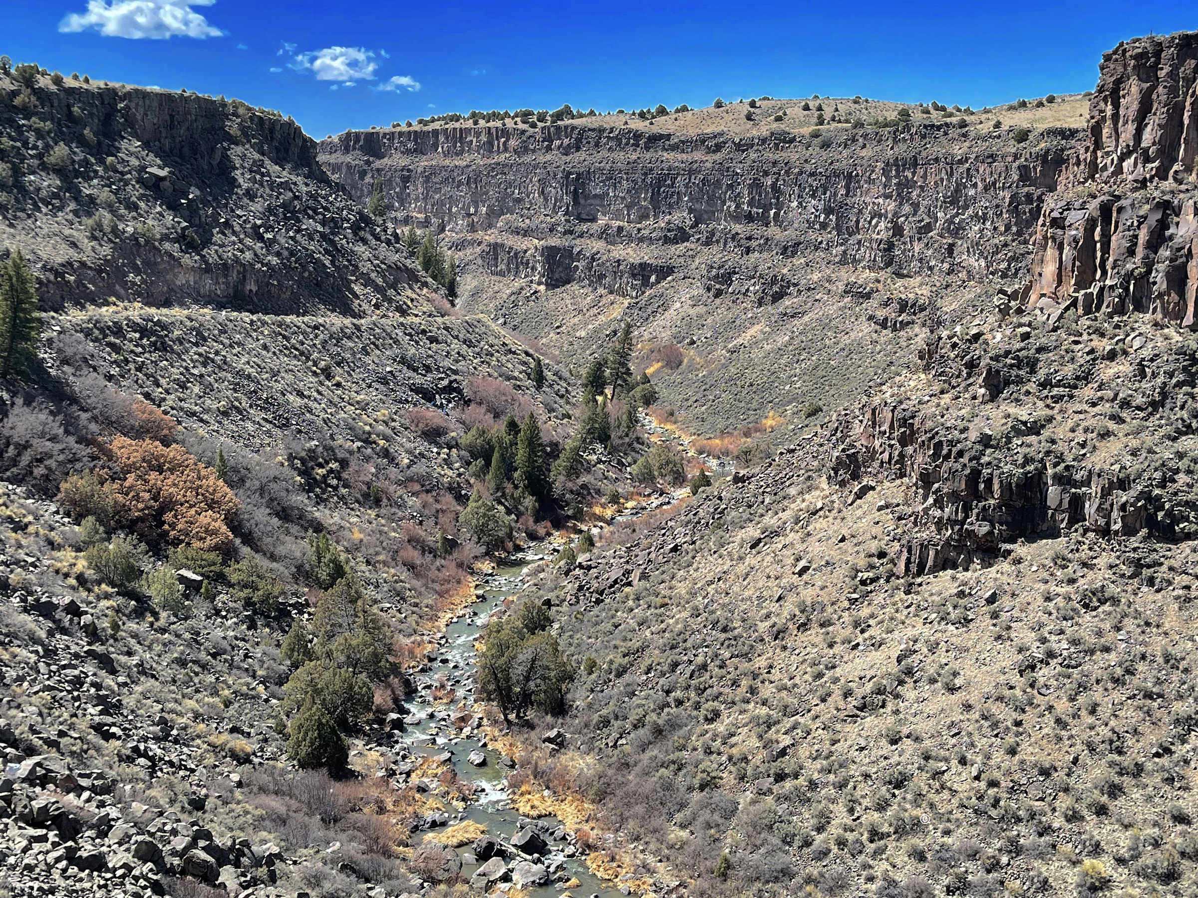
The Río Grande Del Norte National Monument is home to Wild Rivers and is also managed by the Bureau of Land Management. For visitors willing to travel a bit further in their quest for trails, Wild Rivers is worth the approximate 40-mile drive from Taos. Seven moderate trails descend 800 feet from the rim of the gorge to the river’s edge. Depending on the trail, hikers will either hike to the edge of the Río Grande or the Red River, and the La Junta trail delivers both – for it is on this trail that hikers can see the two rivers converge and begin the journey to the Gulf of Mexico. This area is home to an abundant variety of wildlife including bighorn sheep, mountain lions, mule deer and a wide range of birds including the red-tailed hawk.

Taos Ski Valley Kachina Peak — Strenuous
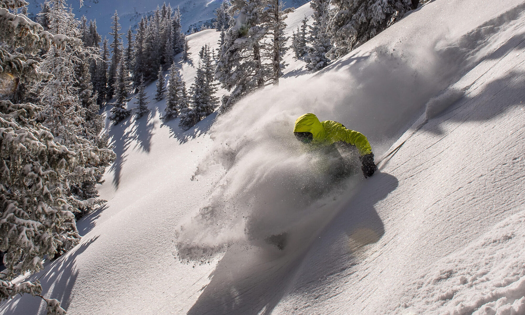
The ‘Spirit of Kachina’ will appeal to the adventurer seeking a strenuous, steep alpine climb that opens up to a rocky landscape above the picturesque tree line. As part of the Carson National Forest, skiers recognize Kachina Peak as the summit of Taos Ski Valley. The unmarked trailhead can be found at the top of Lift 4 – this ski lift generally operates year-round. It is rare to hike this trail without seeing bighorn sheep and due to its popular next door neighbor Wheeler Peak, Kachina Peak is seldom busy even on the busiest of days.
With an enviable and expansive geography, Taos County welcomes hikers and backpackers of every level. The popular trails will continue to draw the same hikers year after year, yet when the call to discover a trail less traveled sounds, hikers have plenty of choices.

