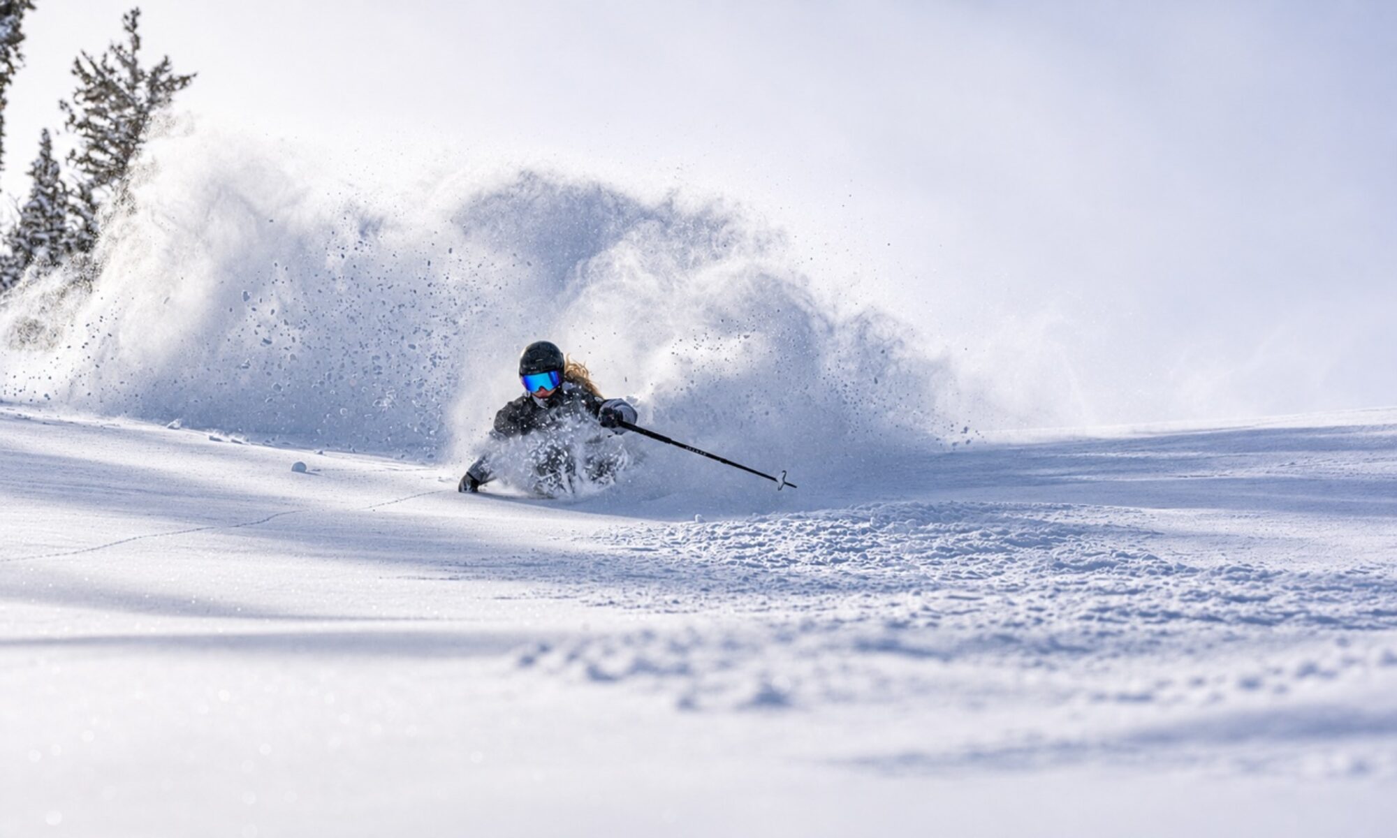

Will ‘Super El Niño’ bring super snow to Northern New Mexico this winter?
By Cindy Brown
A Super El Niño is predicted for this winter and that may mean a good snow year for Taos.
An El Niño pattern occurs every two to seven years and causes changes in weather across the globe, often bringing greater moisture to the southwestern United States and drier conditions to the northern states.
A NASA report identifies El Niño as one of the most important weather-producing phenomena on the planet and refers to it as a master weather maker. “Dry regions of Peru, Chile, Mexico and the southwestern United States are often deluged with rain and snow and barren deserts have been known to explode in flowers. Meanwhile, wetter regions of the Brazilian Amazon and the northeastern United States often plunge into months-long droughts,” according to the report.
The pattern is caused by warming of the Pacific Ocean at the equator. In an El Niño year, the surface waters of the central and eastern Pacific become significantly warmer than usual. The easterly trade winds, which blow from the Americas toward Asia, can weaken and even reverse, causing more intense storm systems to flow toward the Americas. This year’s predicted warming is so great that the pattern is being called a Super El Niño, or in scientific terms, a very strong El Niño.
A very strong El Niño
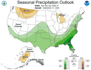
State climatologist and New Mexico Climate Center Director Dave DuBois said in a fall presentation to the nonprofit New Mexico Water Advocates that from September 2026 to January 2027, there is a greater than 90 percent chance of a very strong El Niño.
“Any time there is an El Niño, it increases the chances for more moisture and more storms which bring more snow,” DuBois later told the Taos News.
“Unfortunately,” he cautioned, “an El Niño pattern doesn’t always mean wetter and cooler conditions. The farther south you go, the greater the chances for moisture. During an El Niño, the jet stream pushes southward and hugs the southern coastal states but may not get farther into core regions. Still, it could translate into a good dose of snow for New Mexico this winter.”
Super snowfall
Of course, the greater moisture must arrive at the same time as cooler temperatures to produce snow. The Mountain Weekly News says Southern Colorado and Northern New Mexico may be in the sweet spot for the best snow this winter.
“Taos has always been one of my favorite El Niño plays because you’re combining a southern location with serious elevation,” says a Mountain Weekly article published in late summer. “The mountain tops out above 12,000 feet, and when Taos gets cold smoke, the snow can be ridiculously light.” The article points out that what really matters to the chances for snow is whether the winter brings persistent southern storms that carry Pacific moisture into New Mexico. “If that happens, Taos could be one of the better places in the country to be,” the article concludes.
Ski New Mexico shares a similarly optimistic view in its 2026-2027 Preseason Outlook, saying, “Known worldwide for legendary terrain and one of New Mexico’s highest summit elevations, Taos Ski Valley is exceptionally well positioned when Pacific storms move across northern New Mexico. The resort’s summit reaches 12,481 feet, giving it one of the highest ski elevations in the state.” The report says other local ski areas could also benefit from the El Niño pattern.
DuBois points out that the forecast is moderately optimistic for a good snow year and says he is rooting for a snowy winter, but he reminds readers, “That’s the fun thing about climate; it rarely works exactly how you think it will.”
Why is it called El Niño?
The term El Niño, meaning “the boy” in Spanish, is a reference to the Christ child. It comes from the name Peruvian fishermen gave to a periodic warm ocean current that was usually observed immediately after Christmas, according to NOAA.
Community Collaborative Rain, Hail and Snow Network
The Community Collaborative Rain, Hail and Snow Network (CoCoRaHS) is a volunteer citizen science network in which people across North America and into the Caribbean measure precipitation in their neighborhoods and report results that scientists use to understand the distribution of precipitation. It is the largest source of daily precipitation observations in North America, with more than 28,000 active observers.
State climatologist Dave DuBois is available to conduct training sessions and received a grant from the Interstate Stream Commission to help people who do not have funds to purchase a gauge. More information is available at cocorahs.org.