
With over 300 days of sunshine a year
Hiking is possible in and around Taos throughout the winter. Here are the top trails in and around the Enchanted Circle.
By cindy brown
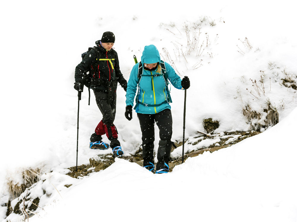
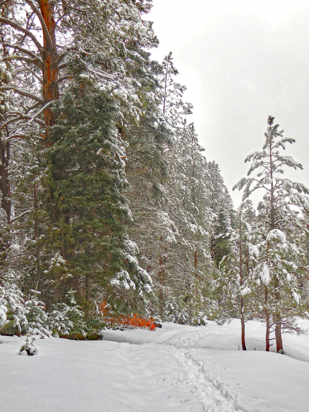
Being in nature on a brisk day with the sun sparkling on fresh snowfall is good for the body and soul. Winter hiking requires a bit more gear, but with a little planning you can have a pleasant and safe trail experience. At lower elevations trails may be clear of snow, while those at higher elevations are likely to have snowier conditions. Be sure to check weather forecasts and consult local outfitters and other local resources as you plan your hike.

Lower Elevation Hikes
Big Arsenic Trail
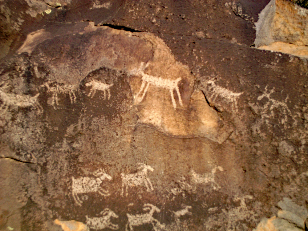
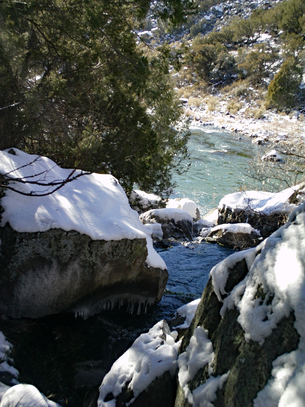
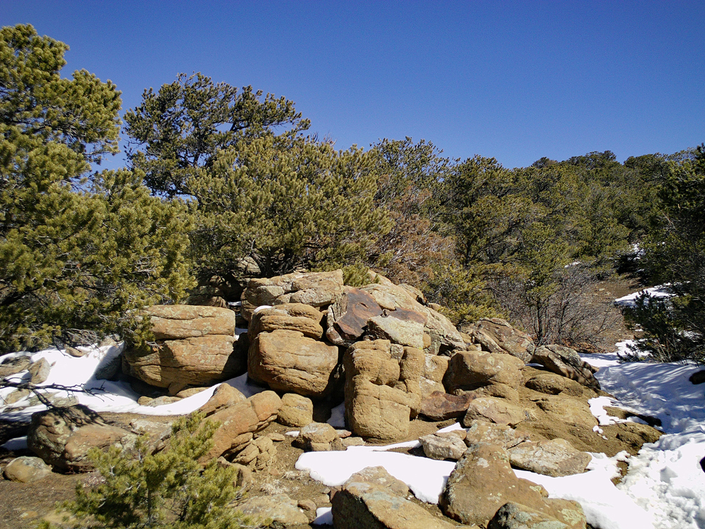
Big Arsenic Trail is a hike at the Wild Rivers area north of Taos. The trail goes from the ridge of the Río Grande Gorge down to the river and Big Arsenic Springs. When you reach the river continue on to the right (north) to look for petroglyphs. Be on the look-out for big horn sheep and other wildlife.
Level of difficulty: Moderate
Elevation: Begins at 7,500 feet and descends 700 feet
Miles round-trip: 2-3 miles
Directions: From Taos Plaza, head north on Paseo del Pueblo (NM 522) for 27 miles. Pass through Questa and look for the Wild Rivers turnoff on the left (NM 378). Follow this road 3.5 miles to the entrance of Wild Rivers. Go south another 8 miles, head right at the split to reach the trailhead.
Trader’s Trail at Taos Valley Overlook
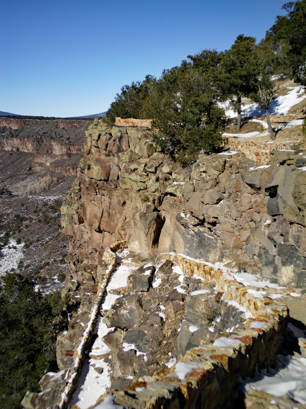
This trail over gently rolling hills goes through the sage and juniper-covered landscape to the rim of the Río Pueblo. From this point, there are views down to confluence of the Rio Pueblo and the Rio Grande. Trader’s Trail is part of a network of trails open to hiking, mountain biking, and horse back riding. During the winter months, look for bald eagles cruising the gorge and big horn sheep.
Level of difficulty: Easy
Elevation: 7,000 feet; 200 foot descent toward the rim of the gorge
Miles round-trip: 3 miles
Directions: Go 10 miles south of Taos Plaza on Paseo
del Pueblo (NM 68). Look for the brown hiker sign on the right just past mile marker 36.
Higher Elevation Hikes
Devisadero
This hike is just east of Taos. It is a loop that goes to the top of Devisadero Peak and is a good winter hike due to its south-facing slope. The trail climbs through desert landscape into the forest and has views into Taos.
Level of difficulty: Mostly moderate with some steeper sections
Elevation: Begins at 7,200 feet and climbs 1,100 feet
Miles round-trip: 5 miles
Directions: From Taos Plaza, take Kit Carson Road (US 64) 2.8 miles to the trailhead parking lot on the right.
Amole
Only about 30 minutes from downtown, Amole Canyon has a trail that climbs towards Gallegos Peak and also lower elevation loops used for cross country skiing and snowshoeing. For the trail to the peak, walk up the road from the trailhead parking and look for the sign that says number 182. The cross country loops are directly across the road; avoid walking in the cross country ski tracks.
Level of difficulty: Moderate towards
the peak; easier on the loops
Elevation: Begins at 8,300 feet;
ends at 9,300 feet at the peak
Miles round-trip: 4 miles
Directions: From Taos Plaza, head south 3 miles to NM 518. Turn left and drive 14 miles to reach the entrance to Amole Canyon on Forest Road 703. If the gate is closed, park here. If it is open drive a half mile up a dirt road to the trailhead parking on the right.