
Sage advice and solid 411 on hiking in Northern New Mexico
By Cindy Brown
One early summer morning, a friend and I were hiking quietly on a trail in southern Taos County.
We crested a hill to see a creature sitting on the trail in front of us. Was it a cat, a dog, a coyote? The furry spotted creature looked at us for a minute and then disappeared into the woods. As we tried to figure out what we’d seen, the answer came to me — it was a young bobcat.
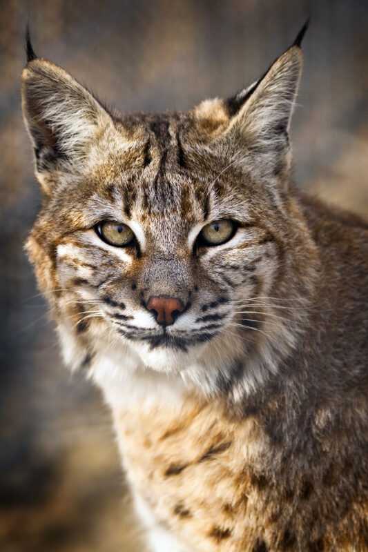
Although bobcats live in different habitats all over New Mexico, they are elusive and usually nocturnal, so not often seen by humans. This unexpected brush with natural beauty left me with a sense of awe and wonder. This feeling is one of the reasons I believe we go into nature.
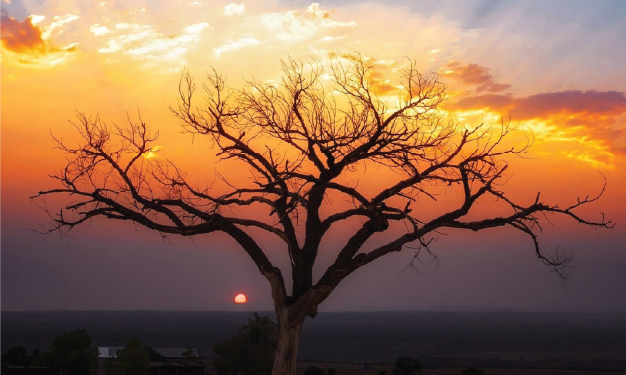
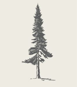
Northern New Mexico is the enchanted land of both desert and high alpine landscapes. Near Taos, mesa trails meander through arid lands and have spectacular views into river gorges, along with the chance to see big horn sheep or glimpse ancient rock carvings known as petroglyphs. At higher altitudes, hikes follow rivers and streams through cool forests. By mid-summer, the hillsides are bursting with blue columbine and other wildflowers. Tall mountain peaks beckon. You may see deer, elk, big horn sheep, or possibly even a bobcat.
In Northern New Mexico there is beauty, solitude, challenge and fun to be found on the trails for beginning as well as expert hikers. A hike is a great way to spend time with family and friends and learn about the area.
Here’s an introduction to how to get started and stay safe, along with suggestions on trails to visit, gear and how to avoid hazards.

Getting Started
If you are visiting or new to town and coming from a lower elevation, be sure to allow some time to adjust to the altitude before attempting to climb a high peak. Taos is located at approximately 7,000 feet and some of the mountain trails climb above 12,000 feet. It’s best to begin with a few low-altitude hikes like the Rio Grande West Rim trail at 6,900 feet (trailhead just west of the Rio Grande Gorge Bridge) or the Rift Valley Trail at a similar elevation (trailhead south of town).
Work up to higher elevation trails by exploring those south of town, like Amole Canyon at 8,300 feet, and then hike the first sections of the trails such as Yerba, Manzanita, and Italianos Canyons on the way to the Taos Ski Valley.
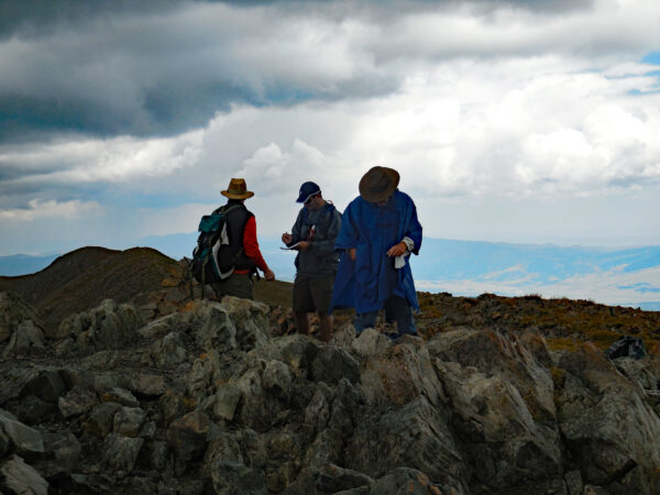
Hiking Safely
The safest way to hike is to go with at least one other person and let someone know when you are expected back. Be sure to read about the hike in advance so that you know what to expect and bring a map and compass with you and know how to use them. GPS is great to have but doesn’t always work well in mountain situations.
Get oriented at the trailhead so you know which direction to head if you get lost. Check weather conditions to see if rain or thunderstorms are expected that day. Be prepared to get wet even if rain isn’t predicted. The weather at high altitudes can be sudden and unpredictable.
If you are lost or hurt, try to send out a text and have someone call Taos County Dispatch (575-758-2216) or 911 in case of an emergency. Taos Search and Rescue will be contacted by dispatch.
There are apps available for iPhones and Androids that allow you to share your location if you have a cell signal. If you are going out of cell range frequently, you might consider a GPS device that shares your location and can send out an emergency signal. Typically, these devices must be purchased and then an on-going or time-limited subscription is needed.
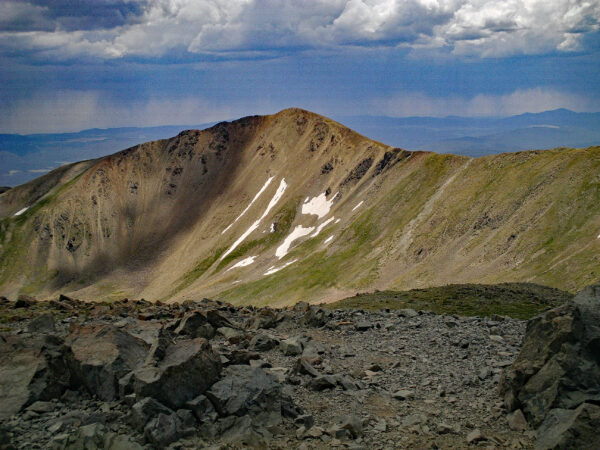
Wheeler Peak
Wheeler Peak is the tallest point in the state at 13,161 feet and is a popular destination for locals and visitors. Ideally, you would spend several months training for this hike by starting out on lower elevation trails and gradually increasing the elevations of your destinations.
There are two ways to approach the peak. The most popular is the approach from the Williams Lake side (Carson National Forest Trail #62), which is steeper and faster with mileage of approximately 4.5 miles one way and elevation gain of almost 3,000 feet. The other approach up Bull of the Woods/Wheeler Peak Trail (CNF #90) begins at the Taos Ski Valley base and covers 8.2 miles in a more gradual ascent, which gains 3,760 feet.
During the summer, there is always a chance of storms that can bring rain and hail, along with thunder and lightning. Aim to be off the top by noon. Although this is a popular hike, don’t underestimate the steepness, the physical demands of reaching the top and the importance of good rain gear.

Avoiding Hazards
- Too much sun/dehydration — With close to 300 days of sun per year, chances are your summer hike will be in the sun, for at least part of the day. Plan to visit the desert trails early in the day or in the evening or on cooler days. These trails generally have little tree cover and get hot during mid-day. Taos is high and dry. You’ll need more water to stay hydrated here than in more humid places, so bring more water than you think you’ll drink, especially if you are hiking with your dog who will need to stay hydrated too. Signs of heat exhaustion include dizziness, headache, nausea, vomiting, excessive sweating, confusion, fatigue and muscle cramps. If anyone in your group shows signs of heat exhaustion, get them out of the sun into the shade. Lay them down and give them cool water or drinks with electrolytes.
- Lightning/monsoons — Beginning usually towards the end of June or in early July, a weather pattern called monsoons can bring rain and hail along with lightning. Be aware of dark clouds moving your way and a change in the wind. Leave high mountain peaks and exposed ridges and seek shelter at lower elevations.
- Altitude sickness — Altitude sickness can affect anyone starting at 6,500 feet, even those in good shape. Strenuous exercise can make it worse. If you are out hiking and experience headaches, fatigue, stomach upset or dizziness, return to lower elevations and rest. Be sure to hydrate and limit alcohol and sugar, as they can be dehydrating.
- Rattlesnakes — Although not often seen, there are rattlesnakes in the desert areas near Taos. The prairie rattlesnake is most common in Taos County and the diamond-back farther south. If you spot a rattlesnake on or near a trail, back off and give it plenty of room to escape. Sturdy hiking boots and long pants will help protect you. Keep your dogs close to prevent them from disturbing a snake.
- Mountain lions, bears and bobcats — Also not commonly seen, the mountain lion lives in the forested regions near Taos. If you ever see one, again give it room to escape. Keep children and pets near you when you hike. Black bears also live here. They are usually not aggressive, so stay back if you spot one and be aware of any cubs in the area. Bobcats are small and usually not a danger to humans.
- Hypothermia — Hypothermia can occur even in the summer months, if you are exposed to wet, cold or windy conditions. The body loses heat faster than it can generate and, in extreme cases, the heart, lungs and other body systems cannot function properly, and the condition can lead to death. The signs can include shivering, dizziness, disorientation, fatigue and fast heartbeat. It is important to get anyone showing these signs to a warm protected place. Cold clothing should be removed, the person covered with blankets and warmed slowly with a fire. Avoid hypothermia by bringing rain gear and a change of clothing with you when you hike. If you see weather moving in at high elevations, seek cover and move lower.
GEAR & CLOTHING
Here is a list to help you begin your preparation:
- Backpack
- Hiking boots (waterproof)
- Socks (summer weight wool)
- Long sleeve shirt (for sun protection)
- Raincoat, gloves, warm hat
- Extra clothes
- Water (a half-liter per hour in moderate temperatures)
- High energy food and salty snacks to replace electrolytes
- GPS, map or trail guide
- Sunscreen, sunglasses, sun hat
- First aid kit
- Knife
- Matches, lighter
- Flashlight, headlamp
- Lightweight emergency shelter or blanket
Visit local outfitters like Mudd ‘N Flood, Taos Mountain Outfitters, Cottam’s and Boot Doctors for gear recommendations.
RESOURCES
Carson National Forest
575-758-6200
208 Cruz Alta Road
fs.usda.gov/carson

Bureau of Land Management
575-758-8851
1024 Paseo del Pueblo Sur
blm.gov/new-mexico

Rio Grande Gorge Visitor’s Center
575-751-4899

Wild Rivers Visitor’s Center
575-586-1150
TO WATCH FOR
Be on the lookout for guided hikes, star parties, and other special events offered by the Bureau of Land Management this summer. Contact the visitors centers for more information.
Cindy Brown is the author of the “Taos Hiking Guide,” available at local retailers. She has been writing about the outdoors for the Taos News for the past 12 years.